
2007 · Accessory (dice, maps, screens, cards)
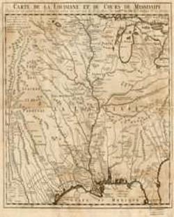
Mississippi River Basin of the 1700's
A detailed historical map depicting the Louisiana Territory and the course of the Mississippi River as charted in the 1700s. The printed map measures 11 by 11 inches and presents the river basin in a period-style geographic view.
- Players
- 0
About the game
- Design
- Art
- Publisher

Expansion for
See them in Ludoya
Free, on web, Android and iOS
Play Mississippi River Basin of the 1700's with Ludoya
- Keep it in your collectionTrack your copy and its expansions, lend it to friends, or put it on your wishlist and get told when the price drops.Add it to your collection
- Log every playScores, winners, timers and photos, then your stats: win rate, favourite player count, best score.Log a play
- Score it without paperUse the community's score sheets and play helpers, and let Ludoya add up the points.Find score sheets
- Find people to play it withClubs, game nights and events near you that bring this game to the table.See events
Game facts (players, playing time, age, credits) from BoardGameGeek.