
2019 · ملحق (نرد، خرائط، شاشات، بطاقات)
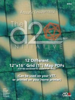
12 Different 12" x 16" Grid (1") Map PDFs
A set of 12 aquatic-themed map PDFs, each measuring 12" x 16" with a 1" grid. The maps can be imported into virtual tabletops such as Roll20 or Fantasy Grounds, adjusted as needed, or printed for home use. Individual maps can also be combined into a single 4' square map through a local banner printer. At 150 DPI, they display clearly on screen at up to twice their printable size.
عن اللعبة
- التصميم
- الرسوم
- دار نشر
توسعة لـ
شاهدها في Ludoya
مجاني، على الويب وAndroid وiOS
العب 12 Different 12" x 16" Grid (1") Map PDFs مع Ludoya
- احتفظ بها في مجموعتكتابع نسختك وتوسعاتها، وأعرها لأصدقائك، أو أضفها إلى قائمة رغباتك ليصلك تنبيه عندما ينخفض السعر.أضفها إلى مجموعتك
- سجّل كل جلسة لعبالنقاط والفائزون والمؤقتات والصور، ثم إحصاءاتك: نسبة الفوز، وعدد اللاعبين المفضل، وأفضل نتيجة.سجّل جلسة لعب
- احسب النقاط بلا ورقاستخدم أوراق النقاط وأدوات اللعب من المجتمع، ودع Ludoya يجمع النقاط.ابحث عن أوراق النقاط
- اعثر على من تلعبها معهمأندية وأمسيات ألعاب وفعاليات قريبة منك تلعب هذه اللعبة.عرض الفعاليات
معلومات اللعبة (اللاعبون، مدة اللعب، العمر، فريق العمل) مأخوذة من BoardGameGeek.