
2011 · ملحق (نرد، خرائط، شاشات، بطاقات)
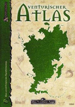
Aventurischer Atlas
This reference book presents detailed, game-friendly maps of Aventuria’s geographical regions, accompanied by short texts summarizing each area as it stands in 1035 BF. Political maps show the fiefdom boundaries of the Horas Empire, the Middle Kingdom, Arania, and the Shadow Lands, with lists of current rulers down to the county level. It expands the existing geographical and regional game aids and supports play with the basic rules alone. Additional reference works are helpful but not required.
كتاب مصدر (قواعد/خيارات لتعزيز اللعب)قائم على الخصائص/الإحصائيات (STR, CON, PER, إلخ)قائم على النقاط (خصص نقاطًا للحصول على مهارات، قوى، إلخ)قائم على الفئات (طيار، ساحر، عالم، إلخ)




مجاني، على الويب وAndroid وiOS
العب Aventurischer Atlas مع Ludoya
- احتفظ بها في مجموعتكتابع نسختك وتوسعاتها، وأعرها لأصدقائك، أو أضفها إلى قائمة رغباتك ليصلك تنبيه عندما ينخفض السعر.أضفها إلى مجموعتك
- سجّل كل جلسة لعبالنقاط والفائزون والمؤقتات والصور، ثم إحصاءاتك: نسبة الفوز، وعدد اللاعبين المفضل، وأفضل نتيجة.سجّل جلسة لعب
- احسب النقاط بلا ورقاستخدم أوراق النقاط وأدوات اللعب من المجتمع، ودع Ludoya يجمع النقاط.ابحث عن أوراق النقاط
- اعثر على من تلعبها معهمأندية وأمسيات ألعاب وفعاليات قريبة منك تلعب هذه اللعبة.عرض الفعاليات
معلومات اللعبة (اللاعبون، مدة اللعب، العمر، فريق العمل) مأخوذة من BoardGameGeek.