
1989 · Kiegészítő (dobókockák, térképek, képernyők, kártyák)
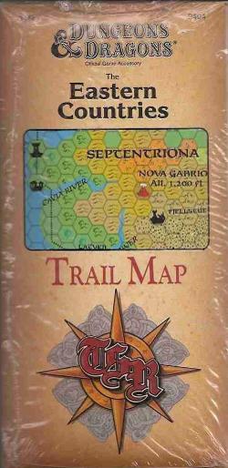
The Eastern Countries Trail Map
A detailed reference map of the eastern D&D Known World, extending from the northern reaches of Vestland through Thyatis and east to the Isle of Dawn. The 36" by 57" full-color map uses an 8-mile-per-hex scale and includes information on travel costs, exchange rates, universities, geopolitical developments, and other regional details for campaign exploration and planning.
- Bonyolultság
- 1 / 5
Attribútum-/statisztikaalapú (STR, CON, PER stb.)Szintalapú (XP szerzés és szintlépés)Osztályalapú (pilóta, varázsló, tudós stb.)
A játékról
- Tervezés
- Grafika


Kiegészítő ehhez:
Nézd meg őket a Ludoyában

Ingyenes, weben, Androidon és iOS-en
Játszd a(z) The Eastern Countries Trail Map játékot a Ludoyával
- Tartsd a gyűjteményedbenKövesd a példányodat és a kiegészítőit, add kölcsön a barátaidnak, vagy tedd fel a kívánságlistádra, és szólunk, ha csökken az ára.Add hozzá a gyűjteményedhez
- Rögzíts minden játszmátPontok, győztesek, időzítők és fotók, aztán a statisztikáid: győzelmi arány, kedvenc játékosszám, legjobb pontszám.Játszma rögzítése
- Pontozz papír nélkülHasználd a közösség pontozólapjait és játéksegédeit, és a Ludoya összeadja a pontokat.Pontozólapok keresése
- Találj játszótársakat hozzáKlubok, játékestek és események a közeledben, ahol ez a játék asztalra kerül.Események megtekintése
Játékadatok (játékosok, játékidő, kor, alkotók) forrása: BoardGameGeek.