
2019 · Akcesorium (kości, mapy, ekrany, karty)
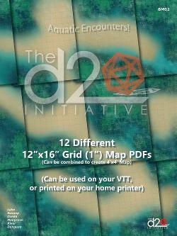
12 Different 12" x 16" Grid (1") Map PDFs
A set of 12 aquatic-themed map PDFs, each measuring 12" x 16" with a 1" grid. The maps can be imported into virtual tabletops such as Roll20 or Fantasy Grounds, adjusted as needed, or printed for home use. Individual maps can also be combined into a single 4' square map through a local banner printer. At 150 DPI, they display clearly on screen at up to twice their printable size.
- Gracze
- 0
O grze
- Projekt
- Grafika
- Wydawca
Dodatek do
Zobacz je w Ludoya
Za darmo, w przeglądarce, na Androidzie i iOS
Graj w 12 Different 12" x 16" Grid (1") Map PDFs z Ludoya
- Miej ją w swojej kolekcjiŚledź swój egzemplarz i jego dodatki, pożyczaj go znajomym albo dodaj go do listy życzeń i dostań powiadomienie, gdy cena spadnie.Dodaj do swojej kolekcji
- Zapisuj każdą rozgrywkęPunkty, zwycięzcy, minutniki i zdjęcia, a potem twoje statystyki: procent zwycięstw, ulubiona liczba graczy, najlepszy wynik.Zapisz rozgrywkę
- Licz punkty bez papieruKorzystaj z arkuszy wyników i pomocy do gry od społeczności i pozwól Ludoya zsumować punkty.Znajdź arkusze wyników
- Znajdź ludzi do wspólnej gryKluby, wieczory gier i wydarzenia w pobliżu, na których ta gra trafia na stół.Zobacz wydarzenia
Dane gry (gracze, czas gry, wiek, twórcy) z BoardGameGeek.