
1989 · Akcesorium (kości, mapy, ekrany, karty)
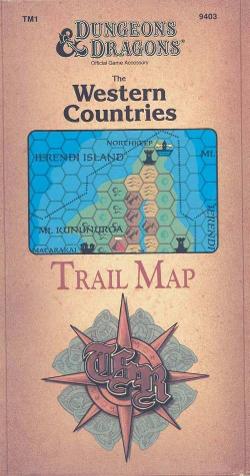
The Western Countries Trail Map
A detailed fantasy map of the western region of the Known World, covering the lands from Glantri to Rockhome and from the Ethengar plains to the Isles of Ierendi. It presents nations, trails, weather, terrain conditions, astronomy, and other regional information in an 8-mile-per-hex Gazetteer-style format. The full-color map measures 36 by 57 inches.
- Gracze
- 0
- Złożoność
- 1 / 5
Oparte na poziomach (zdobywaj PD i awansuj)Kości (różne)Oparte na klasach (Pilot, Czarodziej, Naukowiec itp.)
O grze
- Projekt
- Grafika

Dodatek do
Zobacz je w Ludoya
Za darmo, w przeglądarce, na Androidzie i iOS
Graj w The Western Countries Trail Map z Ludoya
- Miej ją w swojej kolekcjiŚledź swój egzemplarz i jego dodatki, pożyczaj go znajomym albo dodaj go do listy życzeń i dostań powiadomienie, gdy cena spadnie.Dodaj do swojej kolekcji
- Zapisuj każdą rozgrywkęPunkty, zwycięzcy, minutniki i zdjęcia, a potem twoje statystyki: procent zwycięstw, ulubiona liczba graczy, najlepszy wynik.Zapisz rozgrywkę
- Licz punkty bez papieruKorzystaj z arkuszy wyników i pomocy do gry od społeczności i pozwól Ludoya zsumować punkty.Znajdź arkusze wyników
- Znajdź ludzi do wspólnej gryKluby, wieczory gier i wydarzenia w pobliżu, na których ta gra trafia na stół.Zobacz wydarzenia
Dane gry (gracze, czas gry, wiek, twórcy) z BoardGameGeek.