
2006 · Tillbehör (tärningar, kartor, skärmar, kort)
New Orleans of the 1800's
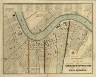
A detailed historical map depicts New Orleans as it appeared in the 1800s, bearing the date 1845. Its comprehensive legend identifies notable places throughout the city, while the layout reflects a map intended to support future urban development. The map remains a useful reference for the city’s streets and landmarks during the decades following its publication.
- Spelare
- 0
Om spelet
- Design
- Illustrationer
- Utgivare

Expansion till
Se dem i Ludoya
Gratis, på webben, Android och iOS
Spela New Orleans of the 1800's med Ludoya
- Ha det i din samlingHåll koll på ditt exemplar och dess expansioner, låna ut det till vänner, eller lägg det på din önskelista och få veta när priset sjunker.Lägg till i din samling
- Registrera varje spelomgångPoäng, vinnare, timers och foton, sedan din statistik: vinstprocent, favoritantal spelare, bästa poäng.Registrera en spelomgång
- Räkna poäng utan papperAnvänd communityns poängblad och spelhjälpmedel, och låt Ludoya räkna ihop poängen.Hitta poängblad
- Hitta folk att spela det medKlubbar, spelkvällar och evenemang nära dig där det här spelet kommer på bordet.Se evenemang
Speldata (spelare, speltid, ålder, medverkande) från BoardGameGeek.