
2007 · アクセサリー(ダイス、マップ、スクリーン、カード)
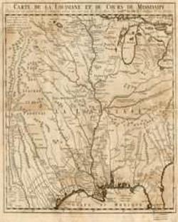
Mississippi River Basin of the 1700's
A detailed historical map depicting the Louisiana Territory and the course of the Mississippi River as charted in the 1700s. The printed map measures 11 by 11 inches and presents the river basin in a period-style geographic view.
- プレイ人数
- 0
ゲームについて
- デザイン
- アート

拡張の対象
Ludoyaで見る
無料・Web、Android、iOS対応
LudoyaでMississippi River Basin of the 1700'sを遊ぼう
ゲーム情報(人数、プレイ時間、対象年齢、クレジット)の出典:BoardGameGeek。