
2005 · アクセサリー(ダイス、マップ、スクリーン、カード)
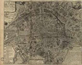
Paris of the 1700's
A historical map depicting Paris as understood in the 1700s, including named streets, districts, parks, local sites, and the Seine. A key identifies the city’s quarters and their estimated founding dates. It can be used as a reference for historical role-playing or displayed as a period map. Print size: 40.5 × 31.9 inches.
- プレイ人数
- 0
ゲームについて
- デザイン
- アート

拡張の対象
Ludoyaで見る
ゲーム情報(人数、プレイ時間、対象年齢、クレジット)の出典:BoardGameGeek。