
2004 · 配件(骰子、地图、屏幕、卡牌)
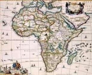
Africa of the 1600's
A decorative historical map depicting Africa as charted by Niccolaas Visscher II around 1681. The coastlines are shown in greater detail, while much of the interior remains unexplored and marked with period-era geography, making it suitable for 17th-century role-playing settings, lost empires, and exploration scenarios. The printed map measures approximately 55.5 by 45 inches and can also be used as wall décor.
- 人数
- 0


免费,支持网页、Android 和 iOS
用 Ludoya 玩 Africa of the 1600's
游戏信息(人数、游戏时长、年龄、制作人员)来自 BoardGameGeek。