
2005 · 配件(骰子、地图、屏幕、卡牌)
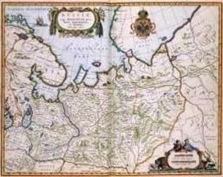
North Eastern Russia of the 1600's
A historical map of northeastern Russia as understood in the 1600s, depicting towns, cities, and borders recorded by Joan and Cornelis Blaeu. A detailed cartouche features the Russian coat of arms. The map measures 56 by 44.3 inches and is suited to historical gaming, role-playing, or display.
- 人数
- 0


免费,支持网页、Android 和 iOS
用 Ludoya 玩 North Eastern Russia of the 1600's
游戏信息(人数、游戏时长、年龄、制作人员)来自 BoardGameGeek。